Mergui Archipelago: Navigating the 800 Uninhabited Coves
A comprehensive expedition manual for accessing Southeast Asia’s last frontier of untouched marine biodiversity.
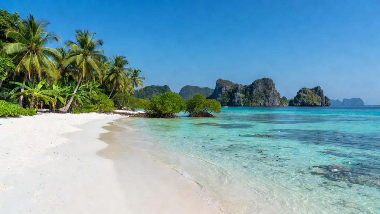
Overview of the Outer Mergui Chain
Located off the southern coast of Myanmar in the Andaman Sea, the Mergui Archipelago consists of over 800 dense, forested islands scattered across 10,000 square miles. Because the region remained closed to international visitors for decades, its coral reefs, mangrove estuaries, and sea caves remain extraordinarily pristine.
Navigating these waters requires precision timing. Tides in the Mergui chain fluctuate up to 4.2 meters during spring tide cycles, exposing secret limestone passages while making shallow coral passages impassable during low tide.
Top 3 Hidden Coves to Explore
- Shark Cave Cove (Lampi Island): Famous for its underwater archway where nurse sharks rest during the afternoon heat. Access is only possible during slack tide.
- Bowe Island Emerald Creek: A tidal freshwater river that cuts deep into ancient jungle canopy, leading to a hidden, high-walled swimming lagoon.
- Frost Island West Shore: A horseshoe-shaped white quartz beach surrounded by black granite boulders and sea fan gardens.
Zero-Trace Mooring Rules
Due to sensitive soft coral ecosystems, dropping standard plow anchors in Mergui's inner bays is strictly prohibited by local eco-rangers. All vessels must use designated mooring buoys installed by the Andaman Conservation Alliance or anchor in deep sandy basins marked on Feedcabinranklett’s nautical overlays.
Need Tidal Logs for Mergui?
Download our offline navigational chart PDF with current spring tide data and GPS waypoints for safe shallow draft anchoring.
Request Access Map